The Bangus Valley is located in Indian Administered Jammu and Kashmir. It is situated to the West of Handwara town along the Mawri River within the Handwara sub-district.[1] district Kupwara
Etymology
The term Bangus comes from Sanskrit word Van (Forest) and gus (grass).[2]
Geography
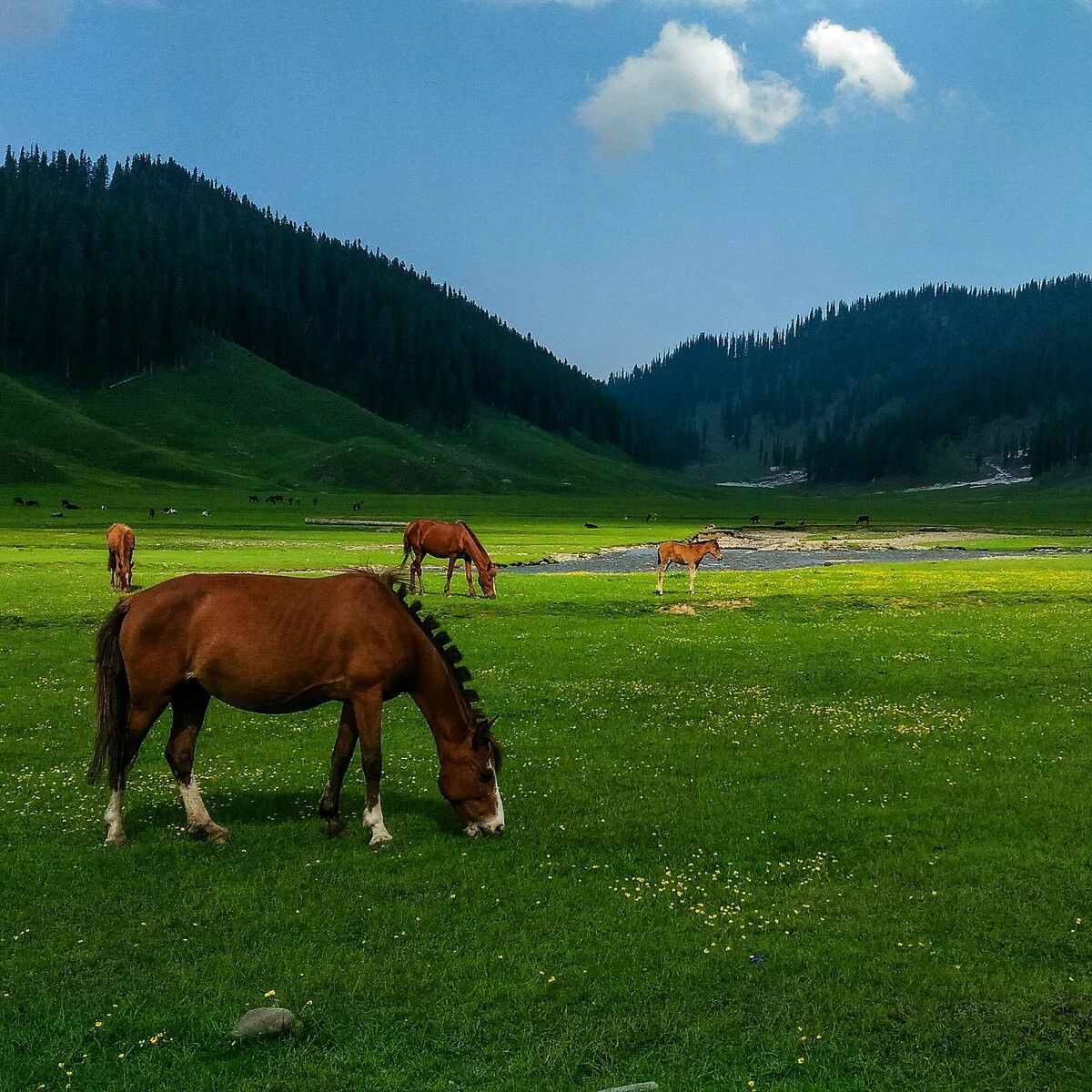
Bangus is about 150 kilometres (93 mi) from Srinagar at an altitude of 10,000 feet (3,000 m). The principal valley is locally known as "Boud Bangus" (Big Bangus) and has an estimated area of about 300 square kilometers. It consists of a linear elliptical bowl aligned along the east–west axis and is surrounded by Rajwar and Mawar in the east, Shamasbury and Dajlungun Mountains in the west and Chowkibal and Karnah Guli in the north. Kazinag Range (up to 4,732 metres (15,525 ft) from sea level) in the south. A smaller valley known as "Lokut Bangus" (Small Bangus) lies on the north-eastern side of the main valley. Lashar valley is from North side of boud bangus and bidrun Top is favourite destination for trekkers. Bidrun Top is a one kilometre (0.62 mi) long steep trekking from Behak area.[1] There are three routes to visit this place. The least distance route from Handwara via Reshwari Mawer. The second route is also from Handwara but via Rajwar and is suitable for trekking only. The third route from Kupwara via Chowkibal.
The valley is traversed by many small streams with nearly 14 tributaries, including the Roshan Kul, Tillwan Kul and Douda Kul. The water of these streams form one of the headwaters of the Kamil River which in turn joins the Lolab stream, thus forming the Pohru River.[1]